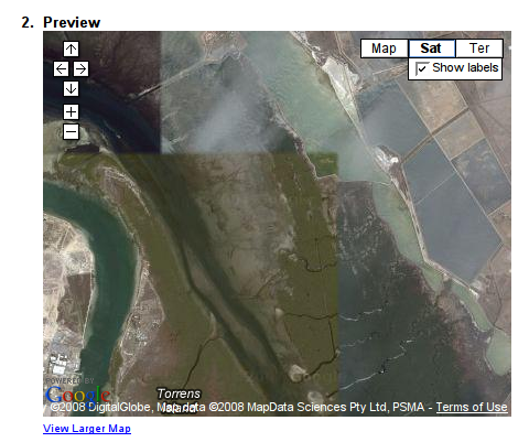
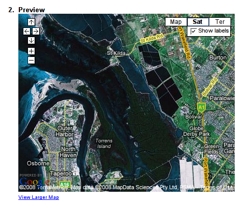
I live in Adelaide and have been playing around with Google maps recently. I have no sense of direction which makes Google quite useful for getting to places. It appears that Google has some problems with satellite images for South Australia. If you take a look at the map below, you should see that it is built out of three totally different captures, you can even see a few clouds.
If you zoom out one more level, the map data totally change,
I wonder how they decided what data to use?


Post a Comment